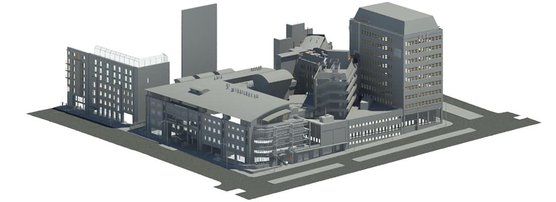
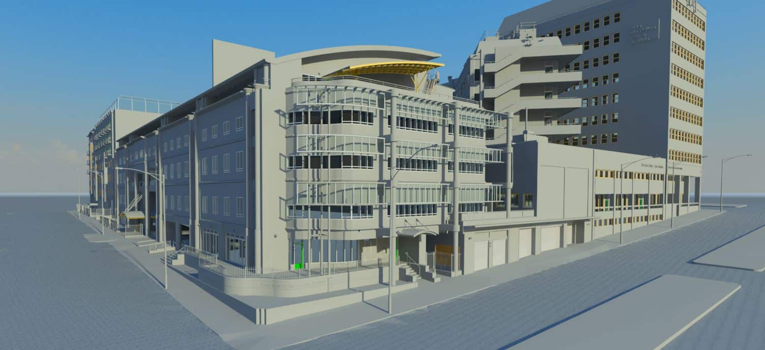
Madigan Surveying provides high definition laser scanning services throughout Australia and prepares various types of outputs including BIM in Revit.
What is high definition laser scanning?
3D Laser Scanning is used to define the shapes of objects, buildings or landscapes, and involves the creation of “point clouds” of data for the definition of the surfaces under inspection.
The scanners measure the fine details of complex shapes and geometric surfaces which require massive amounts of data for their accurate description, and where the use of conventional measurement methods would be impractical.
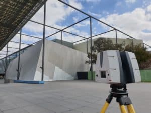
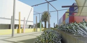
Multiple scans are merged into a single three-dimensional representation of the area and post-processed within various software packages.
Madigan Surveying always updates to the latest technology the purchase of the Leica RTC 360 to complement the powerful Leica ScanStation P40. The RTC 360 is the fastest laser scanner on the market and can record at the rate of 2,000,000 points per second and perform a full dome scan for the complete 360 degrees.
The proprietary software for processing the scans allows for the generation of data in formats to suit processing within the mainstream CAD packages: Autocad, Revit, Microstation.
Due to the increasing prevalence of the scan data, specific routines have been developed within the CAD packages for accessing the scan data as reference files, this allows for the efficient operation of the CAD software whilst accessing the extremely large scan data sets.
Madigan Surveying is an innovative company that has always been at the forefront in the adoption of new technology: the acquisition of the RTC 360 and P40 allows the company to continue to provide clients with the most comprehensive options for servicing their requirements.
Ideal applications for laser scanning
The RTC 360 and P40 is ideally suited to application on the complete range of traditional survey tasks.
– Revit Modelling (BIM)
– Facade Mapping
– Topographic Surveys
– Asbuilt Surveys of Engineering Structures
– Structural Steel Asbuilts
– Heritage buildings
– Plant and equipment
– Railway overheads, tunnels and bridges
– Major road intersections
– Earthworks
– Neighbourhood Character
Please see Videos page for examples
Download our Laser Scanning Brochure

